AI for Land Acquisition: Complete Guide for CRE Developers (2026)
Land acquisition has always been a relationship-driven business. However, this AI land acquisition software guide shows how the process is changing fast. Traditionally, teams drive markets, call planning departments, send mailers, and evaluate parcels by hand. This takes time and often leads to missed opportunities. Now, AI is changing that workflow from the ground up. […]
How AI Zoning Analysis Works Across 23,000 Municipalities
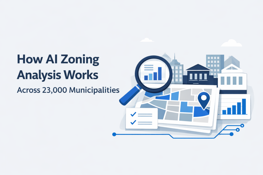
If you’ve ever spent hours calling a planning department just to confirm setback rules, you already know how slow zoning research can be. However, an AI zoning analysis workflow is changing how land teams handle this process. Instead of spending days verifying codes across different jurisdictions, you can now access structured zoning data in minutes. […]